
Our products
One SaaS platform, from each site to your whole portfolio
Assess a site, simulate your options, consolidate your portfolio, on a single web platform that automates the interpretation of geospatial data, in a few hours and with no site visit.
Simple
Two pieces of information per site are enough: its location and the nature of its activities. No heavy data collection or questionnaire to fill in on your side.
Fast
A few hours are enough to analyse a site, with no field visit or seasonal survey.
Consistent
The same method and the same indicators for all your sites, in France and internationally. Results are directly comparable and can be consolidated.
Cost-effective
A fraction of the cost of a field survey, making it possible to analyse entire portfolios, not just a handful of sites.
Site diagnostic
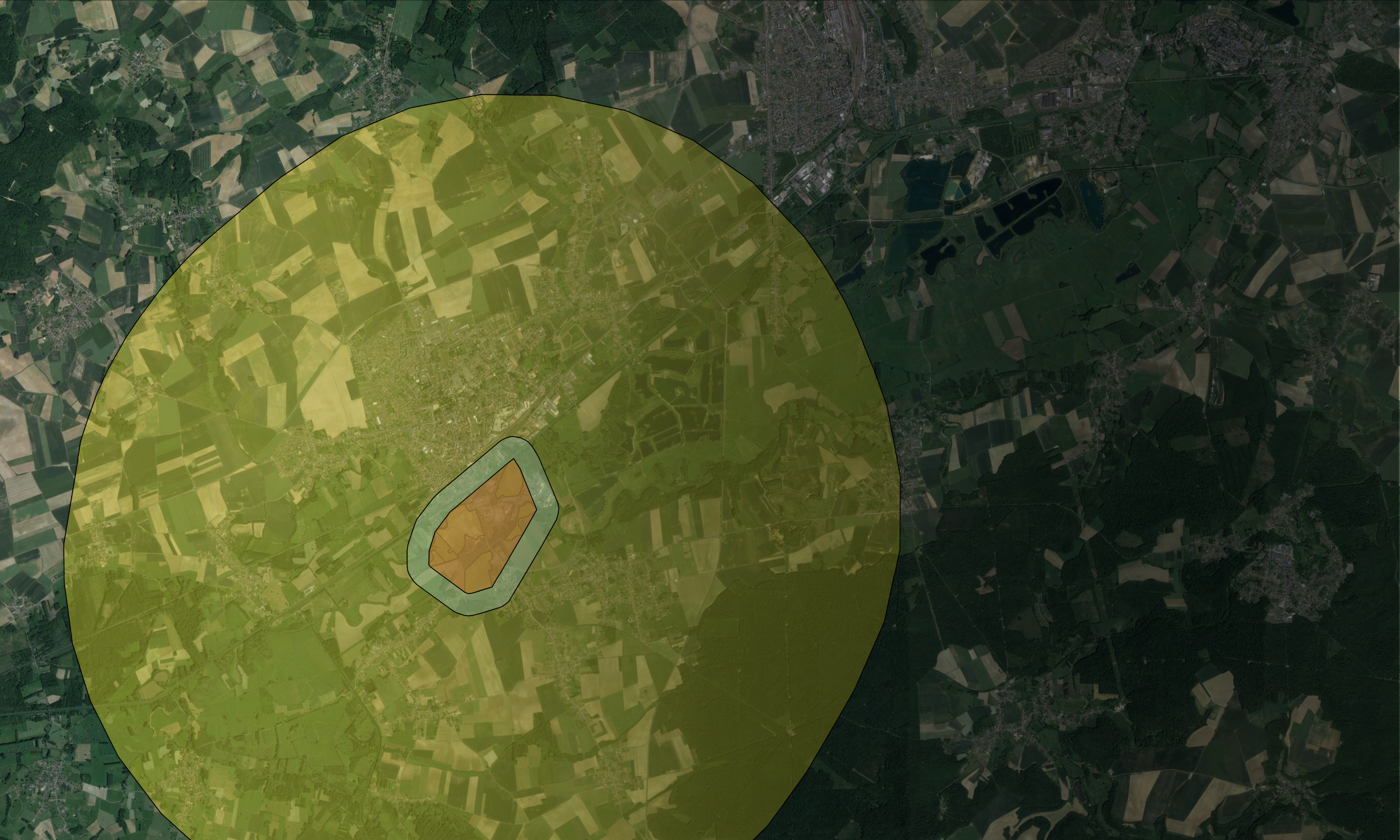
Know a site's nature issues before you commit
GP-PREDIAG produces a preliminary environmental assessment of a site: biodiversity and exposure to risks such as flooding and fire, with clear, prioritised findings to guide design, permitting and mitigation — without a field survey at this stage.
- Habitat and land-use mapping
- Probability of protected species presence
- Confirmed or potential wetlands on the site
- Protected areas and inventories nearby (Natura 2000, ZNIEFF, reserves…)
- Ecological connectivity: the site’s position in the green and blue network and nearby corridors
- Protection status of species and habitats (Natura 2000, national regimes)
- Biodiversity and risk scores, with red flags by sub-plot
- Comparison of candidate sites to prioritise the best options
- Interactive, downloadable report
Scenario simulation
Simulate your development solutions before any work begins
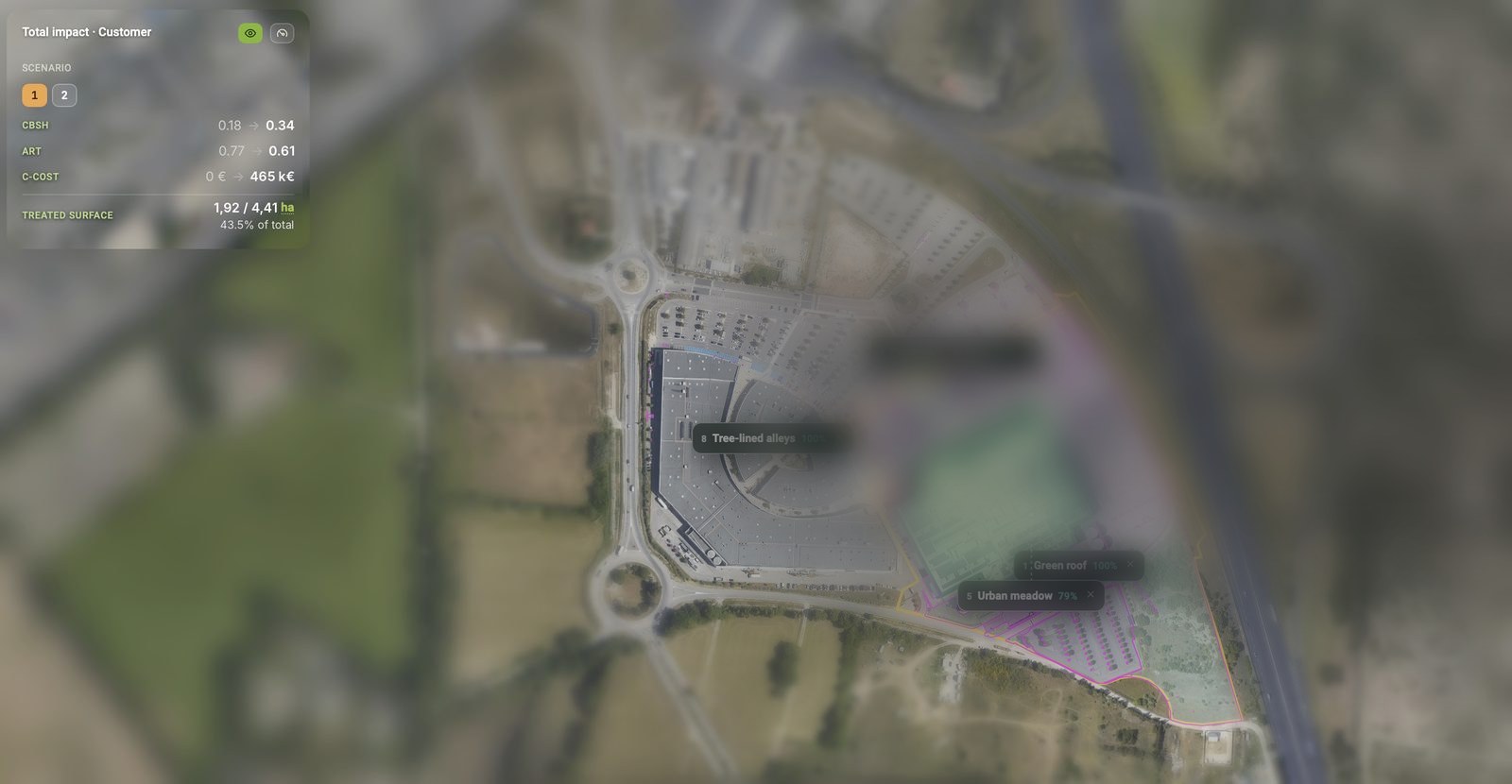
Starting from a site diagnosed with GP-PREDIAG or GP-PORTFOLIO, GP-SCENARIO identifies the areas that are candidates for ecological improvement. Each development solution is classified by its potential impact on four dimensions: cost, biodiversity, resilience and energy efficiency. GP-SCENARIO then simulates the effect of each measure on your biodiversity indicators and gives cost orders of magnitude, so you can compare scenarios before deciding.
- Candidate areas mapped, with available surface and site constraints
- A context-filtered selection of measures from a catalogue of 80+ documented sheets (de-sealing, green roofs, hedgerows, ponds, meadows…)
- Before / after simulation of CBSh, land sealing, MSA and naturalness
- Indicative investment and maintenance cost orders of magnitude
- Side-by-side comparison of several development scenarios, from the most modest to the most ambitious
- Action plan exportable to Excel or PDF, for your trade-offs and investment committees
Portfolio analysis
A consistent view of your Nature & Climate issues across your whole portfolio
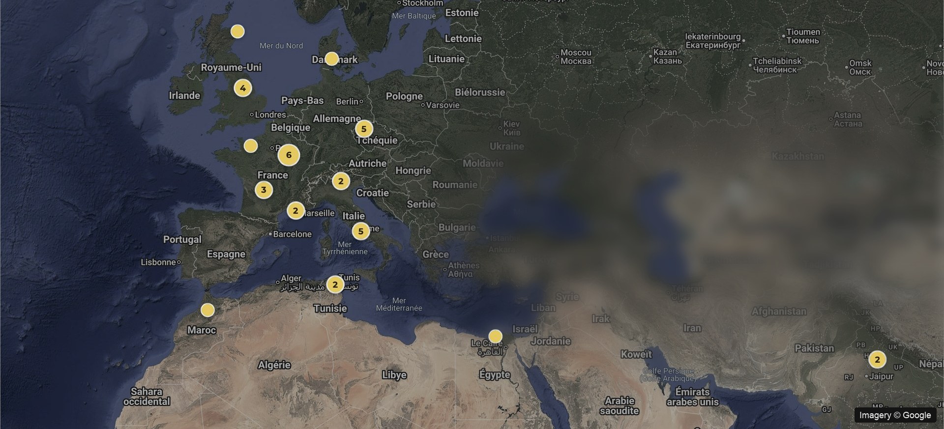
GP-PORTFOLIO is a decision-support tool that consolidates information across all your assets: biodiversity sensitivity, land-use change and environmental exposure, in a dashboard and a data package. It helps you define your strategy, produce your non-financial reporting (TNFD, CSRD…) and adapt your portfolio to climate change.
- MSA, CBS / CBSh, artificialisation, BII and weighted species richness
- Methodology aligned with ENCORE and TNFD disclosure recommendations
- Exposure to climate change under IPCC scenarios
- Exposure to physical hazards: flooding, wildfire…
- Filtering and benchmarking by geography, asset class or risk
- Dashboard plus a data package for your reporting
How it works
Three steps, on your assets
01
You send us your sites
A simple list is enough, with each site’s location and the nature of its activities.
02
The platform analyses
It automatically cross-references satellite imagery and geospatial datasets to generate nature and climate indicators for each site, then consolidates them across the portfolio.
03
Results and platform access
Results presented by the team, an online dashboard and an exportable data package.
See what Green PRAXIS shows on your sites
A prediagnostic on one of your sites, presented by the team — no site visit needed.